1 / 12
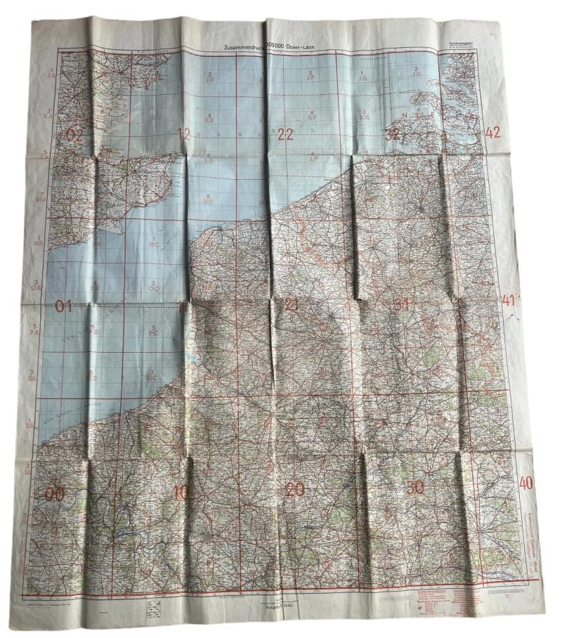
German 1940 Dated Map Dover 133X 103 MM - Norther France - Flandres And Zeeland - Nice Used Condition
Available
€150.00
—
Description
Very interesting large German staff map of Dover-Loan region. Covering Dover and parts of the (south) east coast, Calais, Boulogne and parts of Northern France. The flandres in Belgium and The Dutch islands of Zeeland. Dated 1940/44 and clearly marked 'nur fur dem dienstgebrauch' being a military issued map. Hard to upgrade!
Dealer Info
Dealer Info
-
 Oosterbeek, Gelderland · Netherlands