1 / 5
WWII LORAN AIR NAVIGATION MAP - KOREA TO GUAM
Sold
$57.00
—
Description
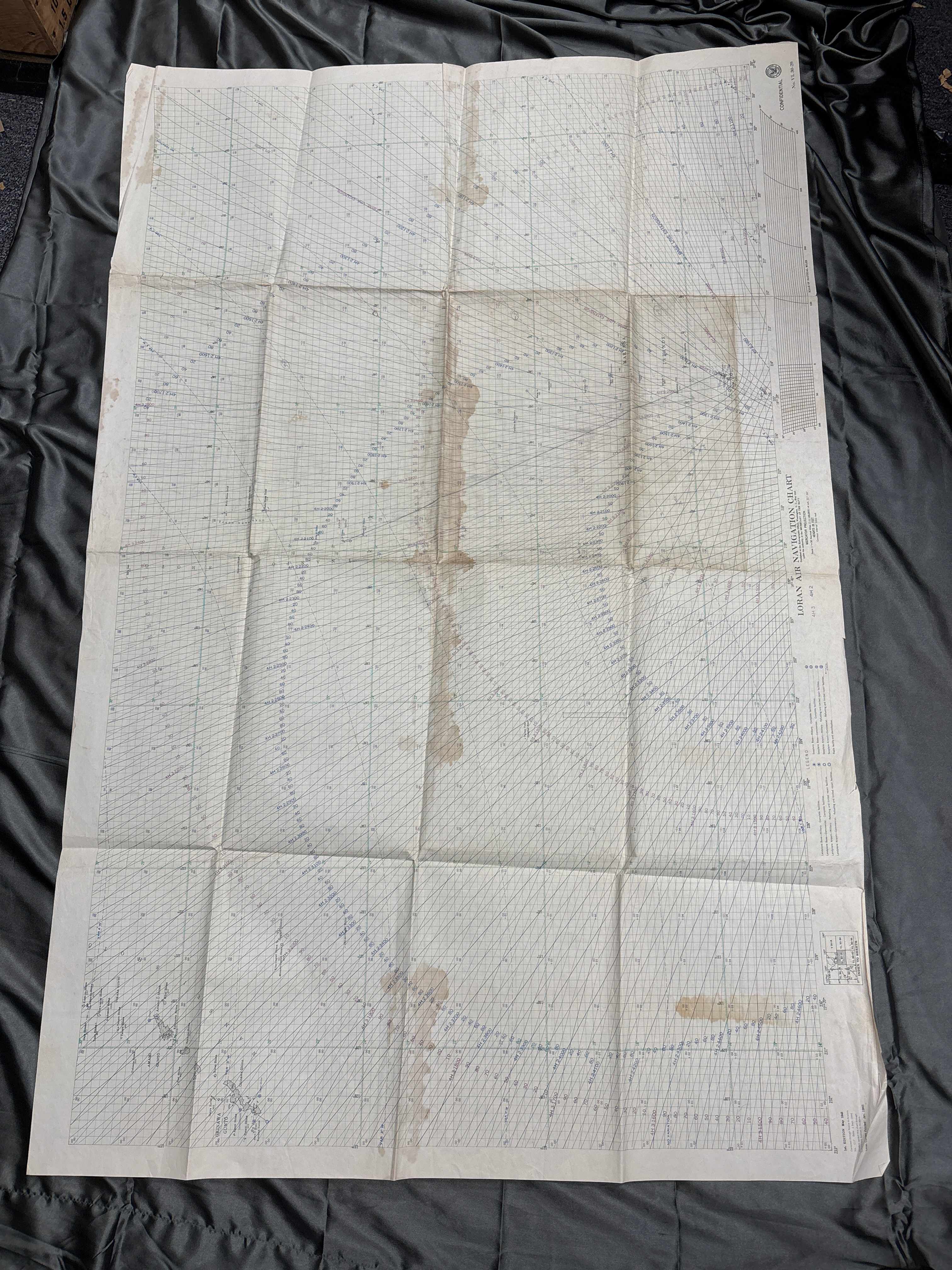
A Loran map is a nautical chart that displays Loran lines, which are hyperbolas that indicate the range and bearing of a ship's position. Loran stands for long-range navigation, and the system was developed in the United States during World War II. Shipping fees included in the United States. Please email us at thewarfront1944@gmail.com for international shipping quote. Located in Kirkland location.
Dealer Info
Dealer Info
-
 Milwaukie, OR · United States