1 / 7
Luftwaffe 'Fliegerkarte' Navigation Map Central Germany
Available
€195.00
—
Description
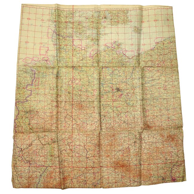
Luftwaffe 'Fliegerkarte' Navigation Map. The large sized fold-out navigation map is having a 1:1.000.000 scale and is dated 1943, it covers area '32-33' covering central Germany with the sections of 'Hamburg', 'Berlin', 'Wien' and 'München'. It is made of laminated paper so it was water resistent and could be folded many times without damaging. The map shows the expected age yellowing. Nice original Fliegerkarte in good used condition!
Dealer Info
Dealer Info
-
 Hengelo (Gld.), Gelderland · Netherlands